
Fabulous new 3D images by Kerem Gogus show Ireland's Stonehenge as it might once have been
 |
| A new depiction of Ireland's Stonehenge at sunset around midwinter, by 3D artist Kerem Gogus. |
 |
|
The monument at Carnbeg brought to
life by in this new image by Kerem Gogus.
|
 |
| The monument consisted of two concentric stone circles surrounded by an embankment with a ring of huge stones outside. |
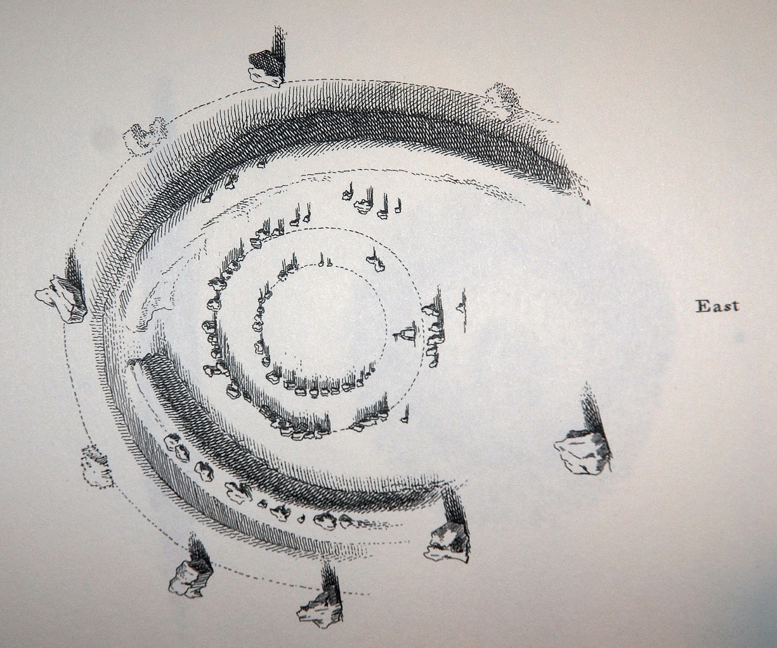 |
| Thomas Wright's 18th century drawing of the monument. |
While doing research over the years, he [Anthony] read that some of the smaller stones were taken away and used as gate posts. He believes it should be possible to locate even some of these in the area. Old stone gate posts are easy to spot and quite rare these days. Other smaller stones were sadly broken up to be used as material for roads. The Armagh road (now known as the R177) effectively cut through the site.“The road was not there in the 1740s when Wright made his drawing. As far as I can ascertain, this road was built in the 1750s (maybe some of your readers might have more information about the exact date of construction?) and would undoubtedly have led to the part destruction of the monument.
Dundalk Democrat's article.

“For years, I've believed that all of the stones were either removed or broken up. But I've discovered a source (Bassett's Louth Directory from 1886) that says some of the larger monoliths (all but one) were buried: ’Most of the rest were dropped into holes sunk behind them, and covered at a sufficient depth to escape the plough’. For me, that's very exciting news. It means there's a possibility that the largest stones - at least some of them - are still there. It might be possible, using archaeology, to ascertain how many are still there, and there's even the tantalising possibility of discerning potential solar and lunar alignments of the site, which was described in the early 20th century by historian Henry Morris as having been an ancient 'school of astronomy'."
Anthony also believes the site could present a viable and successful tourist attraction for Dundalk once it has been fully investigated and potentially restored.
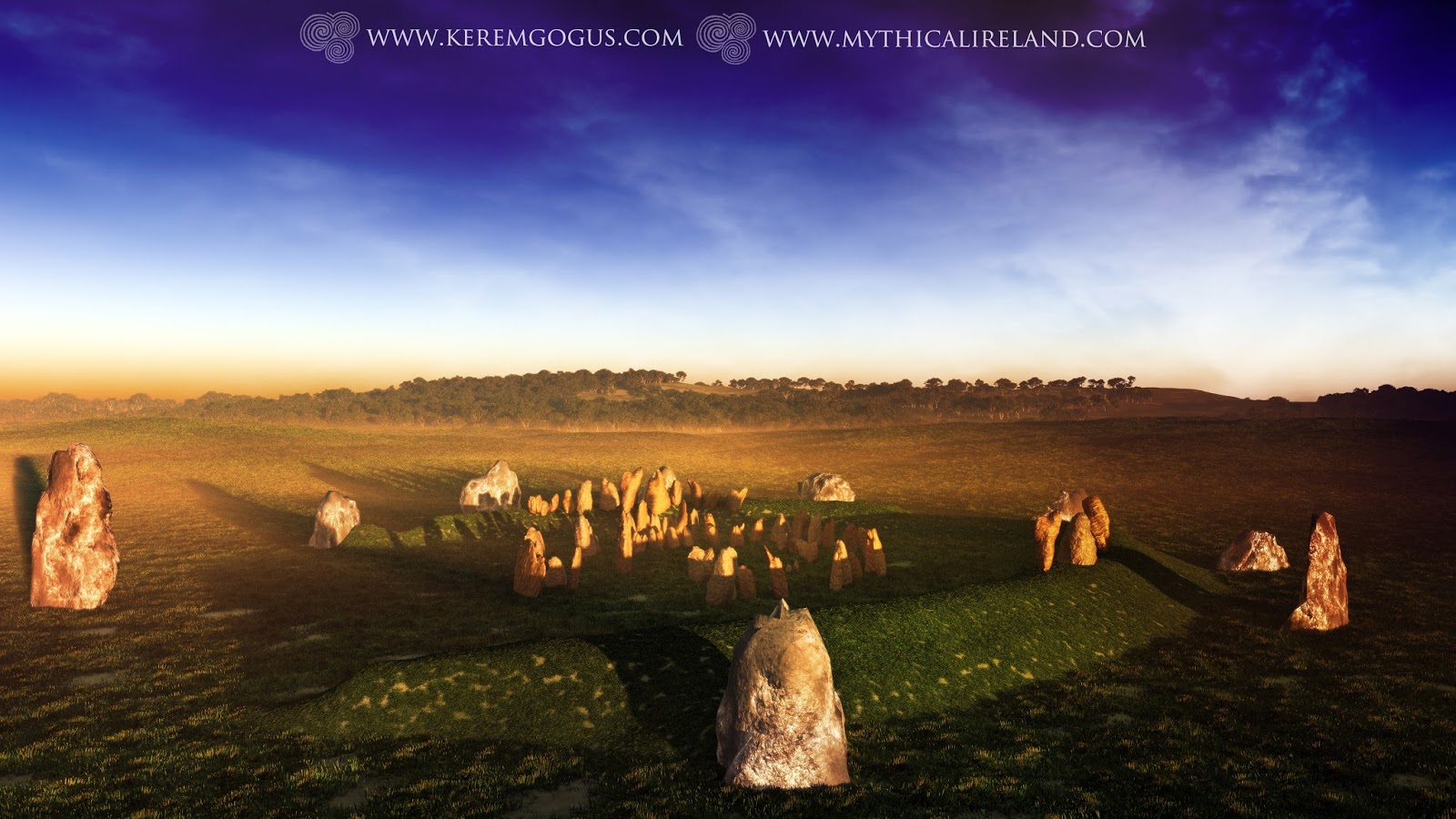 |
| Another of Kerem Gogus's wonderful new 3D images showing what Ireland's Stonehenge probably looked like. |