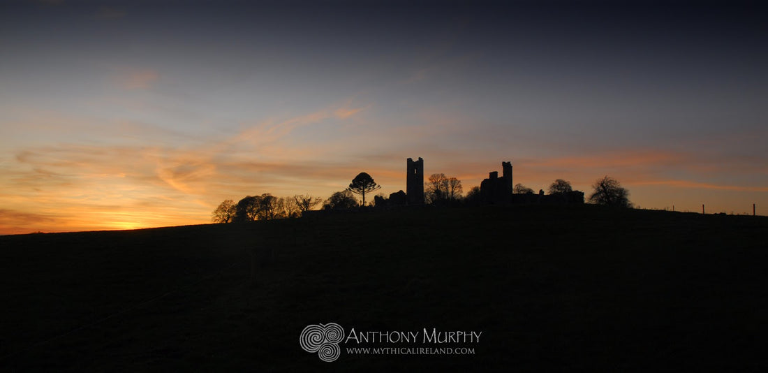

To me, the Hill of Slane represents the place where Christianity met prehistory. Saint Patrick is said to have lit the Paschal Fire here in 433AD, bringing the flame of Christianity to a very pagan Ireland.
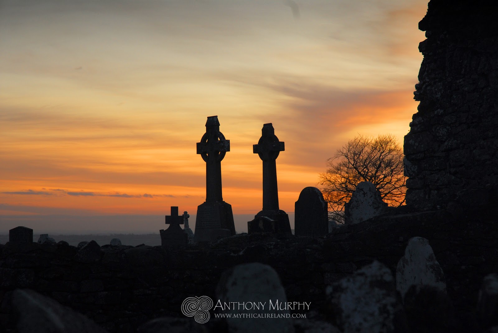 |
| Celtic cross headstones at Slane. |
One thing that seems obvious when you walk up the eastern side of the Hill of Slane (which is the only way to get to it!) is that the monuments and remains relating to Christianity dominate, and that the "pagan" remains - which lie further up the hill on the summit - are shrouded by trees and are largely obscured from view.
The dominant feature from prehistory is a mound or motte, said in local lore to the burial place of Sláine, a king of the Fir Bolg. In the summer time, it is virtually impossible to see the mound, but in winter when the foliage is gone from the trees it is possible to get a look at it.
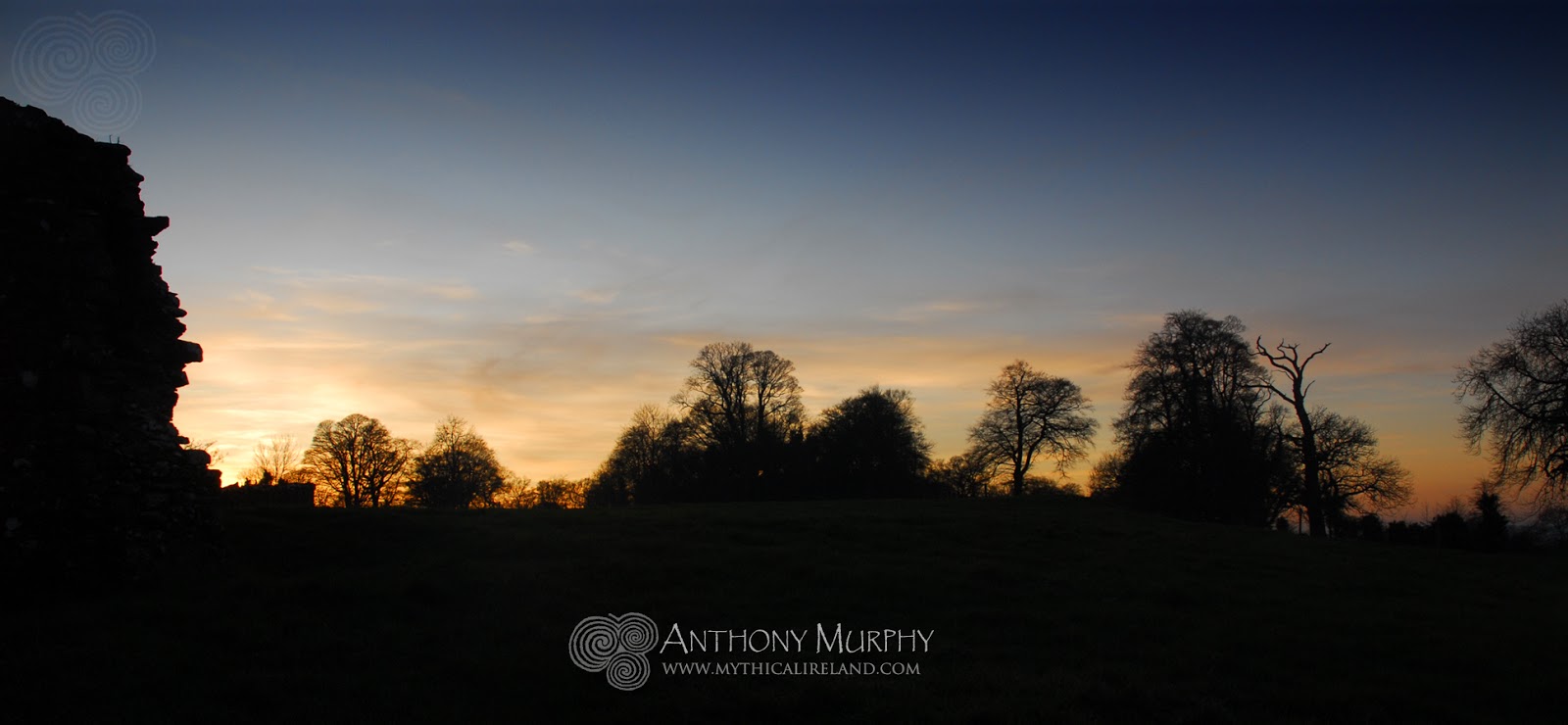 |
| The mound of King Sláine is located shrouded in trees in the middle of this view. |
The motte of King Sláine is very interesting for another reason. It marks the point of intersection of two ancient alignments of sites. We call these the Brigid alignment, or the Brigid's Way, and the Patrick alignment, which I prefer to call "Patrick's Equinox Journey".
The Brigid alignment connects Saint Brigid's birthplace at Faughart with her monastery in Kildare through a 67-mile straight alignment of sacred sites, which include Saint Brigid's Well at Faughart, the barrow cluster on Mount Oriel, the motte of King Sláine on the Hill of Slane, the Hill of Tara and the Curragh, where Brigid was said to have grazed her cattle, and which is located beside Kildare town where she founded her monastery. This video explains how the Brigid alignment was discovered:
One thing that should be obvious about the Brigid alignment is that it must predate Christianity because it involves many prehistoric sites. Indeed we find that Brigid was venerated as one of the Tuatha Dé Danann long before Christianity came to Ireland.
When Saint Patrick landed at the Boyne Estuary (ironically in the same place as the Milesian spiritual leader Amergin had reportedly done over two millennia previously) he made his way towards Slane. Richard Moore and I have documented an equinox alignment involving Millmount in Drogheda (another motte, said in local myth to be the burial place of Amergin) and the motte of Sláine. If you trace the line of this alignment on a map, it continues through Kells and on past Loughcrew, through the Cruachan Aí complex towards Mayo. In Mayo, the alignment follows the route of the Tóchar Phadraig, the pilgrim route from Ballintubber Abbey, through Aughagower, and eventually it lands exactly on the peak of Croagh Patrick. Is this apparent arrangement of sites from the east of the country, where Patrick landed and lit the Paschal Fire, to the west, where he battled with the demons, a coincidence? And indeed some thought must be given to the age of the alignment and its possible pre-Christian significance.
 |
| Hill of Mael in County Westmeath . . . on the Patrick alignment. |
It may yet be that Slane's importance in the wider landscape is not yet fully understood. The Hill of Slane is the dominant feature in the landscape viewed from the east. From Slane (although the view is obscured today by trees), the dominant features to the west would be Loughcrew and Hill of Mael. The latter, which has a very impressive monument of unknown date on its peak, is exactly on the alignment. From there, one can imagine the possibility that the pyramidal peak of Croagh Patrick might just be visible on a very clear day . . .
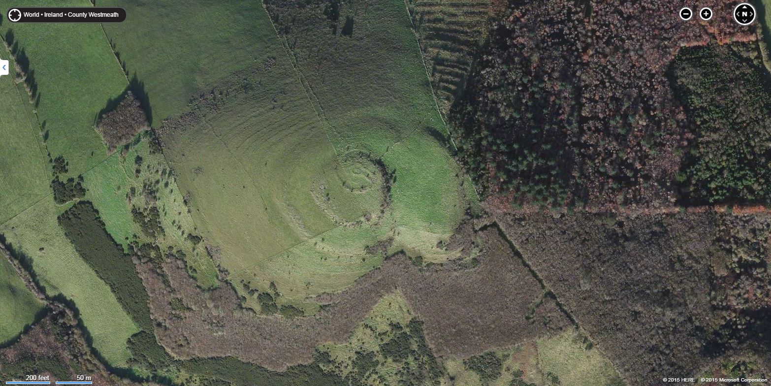 |
| The Hill of Mael viewed in Microsoft Bing maps. |