Video tour of the ancient monuments of the Boyne Valley region in Google Earth with Anthony Murphy
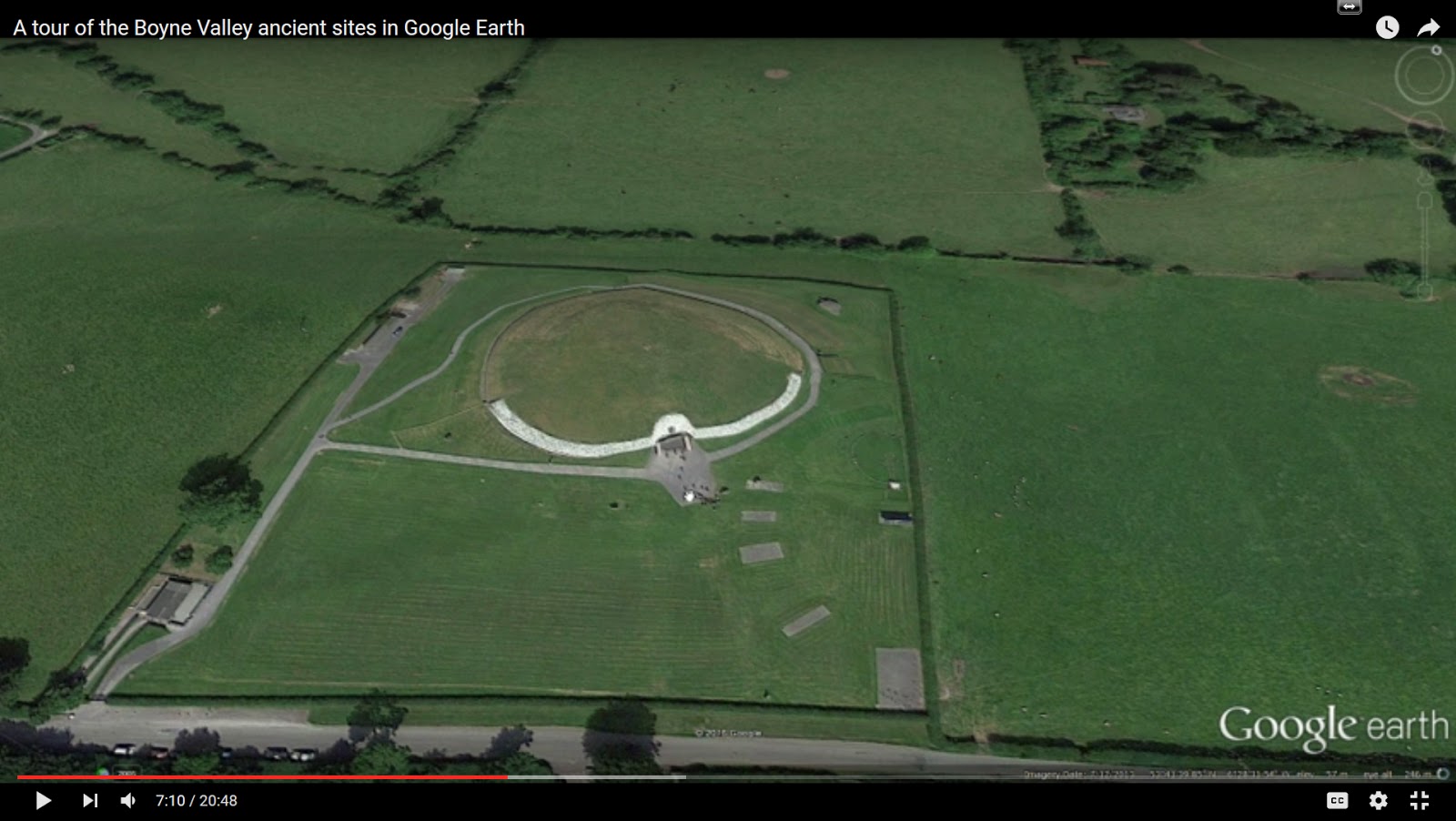
In this video, I take a look at the location of many of the major monuments of the Boyne Valley using Google Earth, a free program which is very useful to those researching the megalithic sites. Google Earth has high-resolution satellite imagery of Ireland and in this video, we take a look at the situation of Newgrange, Knowth, Dowth, Tara, Slane, Millmount, and some of the other prehistoric sites of the Boyne region.
Those of you who don't live in Ireland can explore the ancient sites using Google Earth, taking a look at how they are located in the landscape. This video will give you a good idea of just how many sites can be seen, and also their position in the landscape and proximity to each other. There's some history too - such as the fact that Drogheda was once two towns, built on either side of the Boyne, and there's even a quick look at the place where the Boyne River is said to have its source.